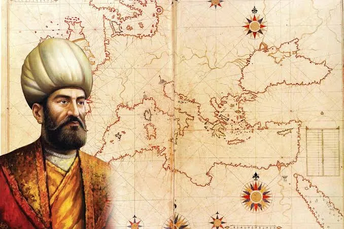
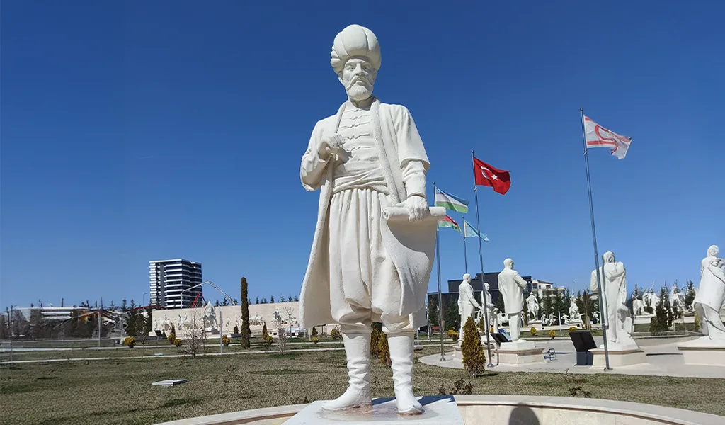
One of the most brilliant figures in Ottoman maritime history, Piri Reis was not only a captain but also an explorer, scholar, and cartographer who helped shape the world. His works are timeless legacies that carry the nautical knowledge of the 16th century into the present, reflecting the spirit of the Age of Discovery. Even today, maritime historians, cartographers, and geographers examine his works with admiration.
Early Life and Maritime Beginnings
Piri Muhyiddin bin Hacı Mehmed (Piri Reis) was born in Gallipoli in the mid-15th century. At a young age, he began his seafaring career under the guidance of his uncle, Kemal Reis, joining expeditions across various parts of the Mediterranean. During this time, he traveled along the coasts of Venice, Sicily, Tunisia, Algeria, and Spain, and stayed in several port cities in North Africa. These early experiences shaped both his maritime knowledge and his skills in cartography.
Service in the Ottoman Navy
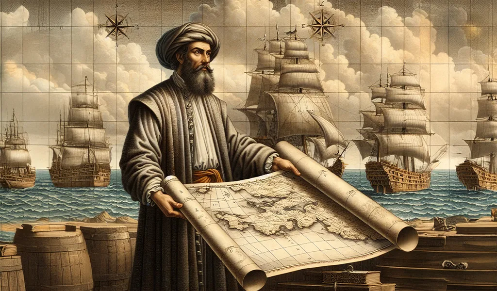
In 1495–1496, responding to the call of Sultan Bayezid II, Piri Reis entered state service and assumed important duties in the Ottoman navy. In 1499, he served as göke captain during the siege of Lepanto in western Greece; in 1500–1501, he took part as galley captain in the conquests of Modon, Coron, and Navarino in the southwestern Peloponnese. In the same period, he joined expeditions to protect trade routes in the Aegean and to rescue Muslim captives from Rhodes. After the death of his uncle Kemal Reis in a shipwreck in 1511, Piri Reis returned to Gallipoli and devoted himself to cartography.
The 1513 World Map: A Landmark in Cartography
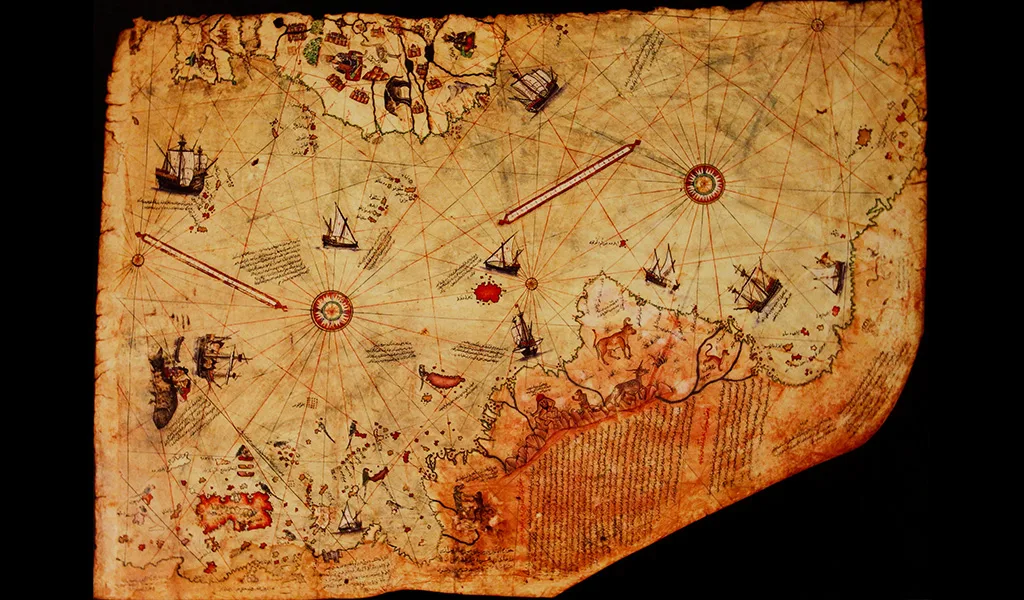
In 1513, Ottoman sailor and cartographer Piri Reis drew the “World Map,” which was not merely a geographical document but also an important work reflecting the accumulated maritime knowledge and spirit of exploration of its time. The surviving fragment shows the eastern coasts of South America, the western coasts of Africa, and the Atlantic Ocean in remarkable detail. This extraordinary work is not only evidence of the advanced level Ottoman seamanship had reached, but also a cultural heritage that records the worldview of the 16th century.
The Significance and Sources of the Map
When compared with contemporary European cartography, Piri Reis’s use of scales, orientation, and coastal outlines demonstrates extraordinary precision. Depicting the western coasts of Europe and Africa and the eastern coasts of South America, this map is considered one of the oldest known depictions of the Americas. Compiled from twenty different sources, including maps by Christopher Columbus, it is a highly valuable document bringing together the geographical knowledge of both European and Muslim sailors of the 16th century. Its significance lies not only in its geographical accuracy but also in its universal perspective, merging information from different cultures. For this reason, UNESCO declared 2013 as the “500th Anniversary of the Piri Reis Map” in a decision made in 2011.
Observations from the Egypt Campaign
During the Egypt Campaign of 1516–1517, his observations along the Nile River provided him with new geographical insights. He presented the map, completed in 1513, to Sultan Selim I immediately after the conquest of Egypt in 1517.
The Kitab-ı Bahriye: Maritime Guide and Geographical Encyclopedia
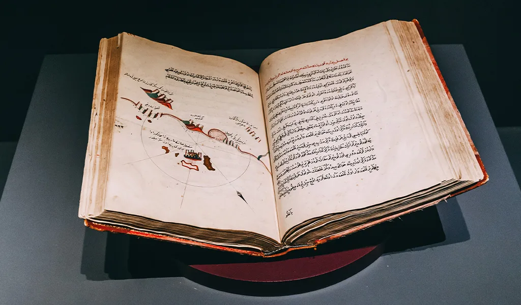
In 1521, Piri Reis served in the Danube fleet during Sultan Suleiman the Magnificent’s Belgrade Campaign; he later took part in major naval operations such as the Rhodes Campaign. In 1524, during a journey to Egypt with Grand Vizier Ibrahim Pasha, he presented the first draft of the Kitab-ı Bahriye to the vizier; an extensive maritime guide that detailed nautical knowledge, coastal descriptions, port locations, currents, and wind directions. In 1526, he completed the second and expanded edition of the Kitab-ı Bahriye, a work that functioned both as a navigation manual and a geographical encyclopedia. In the same year, thanks to Ibrahim Pasha’s patronage, he came under the protection of Sultan Suleiman and served in the Indian Ocean expeditions.
The 1528 World Map: Advances and Accuracy
In 1528, Piri Reis presented his second world map to the Sultan. The surviving portion of this map shows the northwestern corner of the original. This fragment includes the coasts of Central America, Florida, northeastern Canada, and Greenland, with islands and shorelines depicted more accurately and in greater detail, based on recent discoveries. Unlike the first map, which relied on the flawed chart of Columbus, this one portrays the Bahamas, Antilles, Haiti, and Cuba more realistically. It also includes the Yucatán Peninsula and Honduras, discovered between 1517 and 1519. Cuba is labeled “Isla di Vana,” and the Tropic of Cancer; absent in the first map; is shown here as “Günuzadısı,” accompanied by the note: “This line marks the place where the days are very long.” Larger in scale and technically more advanced, this second map is regarded as one of the most sophisticated examples of its time.
Legacy of a Visionary Cartographer
Known not only as an Ottoman admiral but also as a scholar, explorer, and visionary cartographer ahead of his time, Piri Reis left us only one-third of his second world map of 1528. Today, this surviving fragment is preserved in the Topkapı Palace. Its lines remain a silent guide, carrying the seas, discoveries, and dreams of centuries past into our time; still charting a course for those who seek to follow the traces of history across the oceans.